8D ASSOCIATION
The 8D Association is dedicated to promoting the history of the railways of South Lancashire, Merseyside and North Cheshire.
St Helens and Runcorn Gap Railway Stations.
There were ten stations along the line from Runcorn Gap through to St Helens.
Runcorn Gap.
Opened in September 1833 as the southern terminus of the new railway. The station was located close to Widnes Township and was some walk away from the ferry crossing to Runcorn. This was partly due to the new company having little interest in carrying passengers as they felt that freight was the more profitable business to be in. The station was soon to be found to be far too remote and a new station was provided on the line laid towards Hutchinson Street. Runcorn Gap closed on 1st July 1852 with the opening of the new more centrally located station.
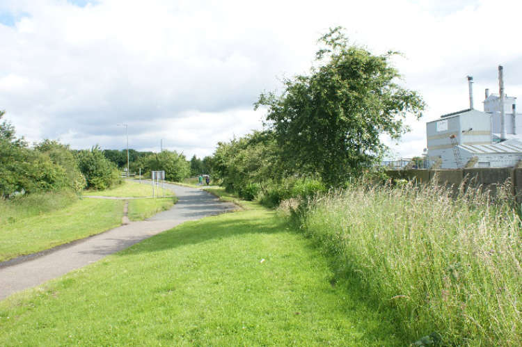
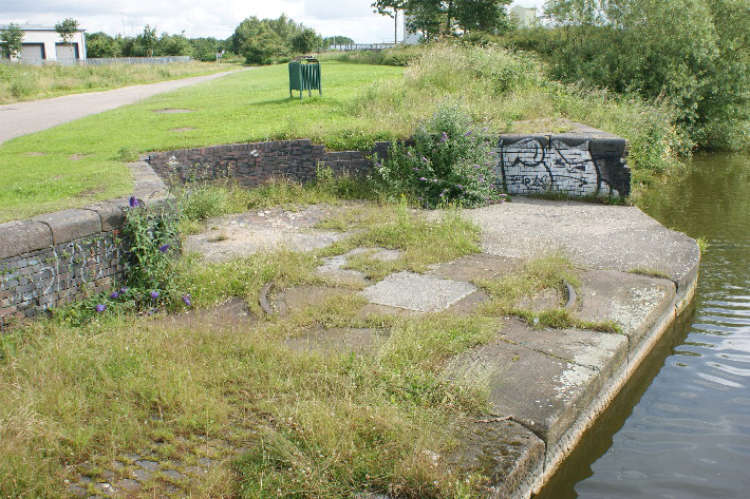
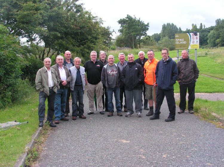
Photo by Paul Wright./ (For further information and pictures on the station click here )
Ann Street.
The station at Ann Street was opened on 1st October 1911 as the area was rapidly expanding the LNWR opened it as a halt to coincide with a new railmotor service. The service along the line was good until the Second World War when the service was reduced to allow a greater flow of freight along the line. After the war the service level was not increased and shortly after nationalisation the passenger service was withdrawn. The station closed along with the others along the line on 18th June 1951.
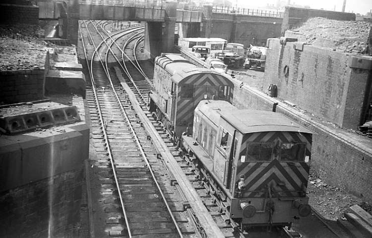
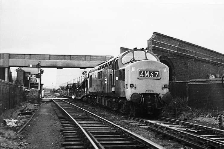
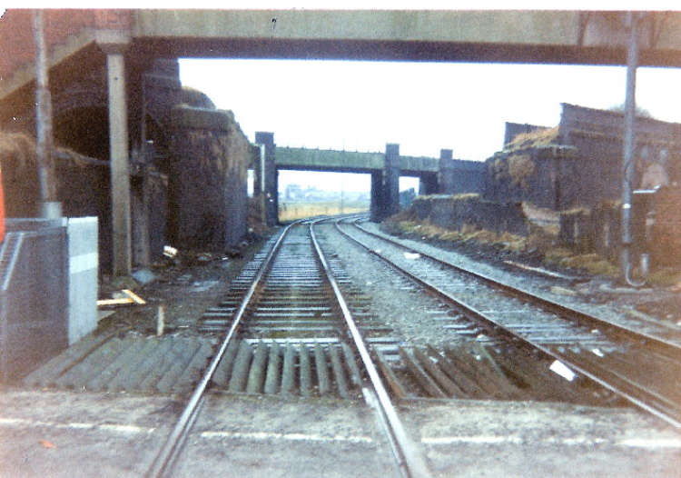
Photo by Paul Wright./ (For further information and pictures on the station click here )
Appleton Station.
The station at Appleton first appeared in the company timetable in 1852 and was situated at the foot of the incline towards the Bongs. The station was well served with passenger trains thanks mainly due to the introduction of the rail motor service by the LNWR. This service was affectionately known as the Ditton Dodger and would be known as that until the service was withdrawn on 18th June 1951. The station closed on that date.
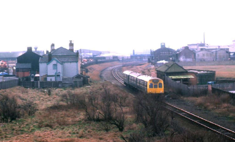
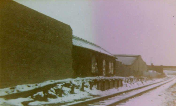

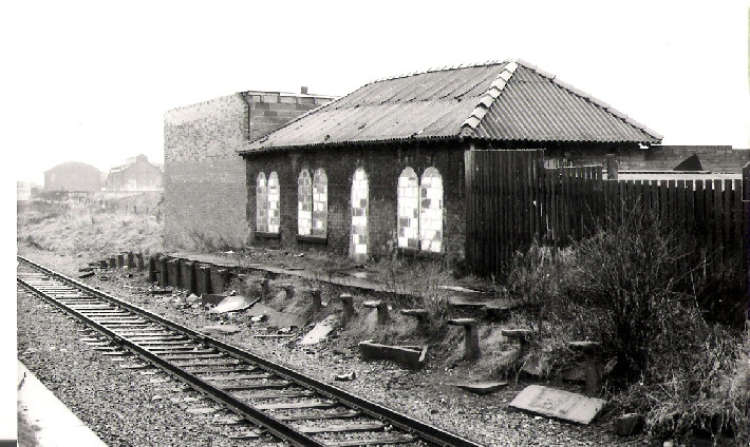
Photo by John McCann./ (For further information and pictures on the station click here )
Farnworth and Bold.
Another of the intermediate stations which opened in 1852 Farnworth and Bold was a busy station due to it being located near many factories, including the Everite and Southerns. These factories created passenger journeys along with plenty of freight movements. When British Rail announced that passenger facilities would be withdrawn from the line it was met with protest, but as the replacement bus service was deemed adequate, even though journey times were much longer, the service was withdrawn. The passenger service was withdrawn on 18th June 1951 but the station remained open for goods until 1st June 1964. The station had remained in good condition with a variety of commercial businesses using it but started to fall into disrepair after the withdrwal of traffic from the Everite.
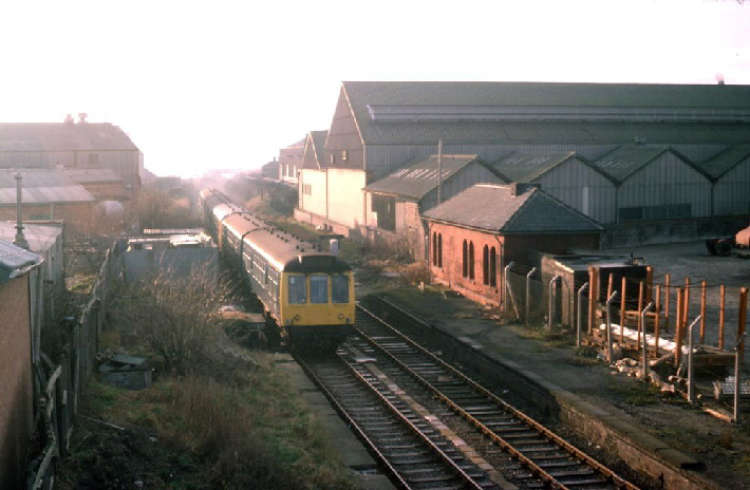
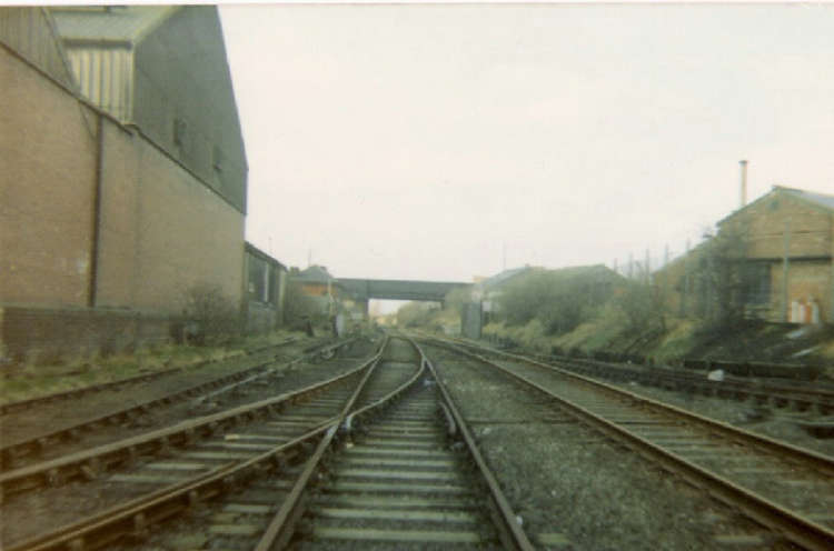
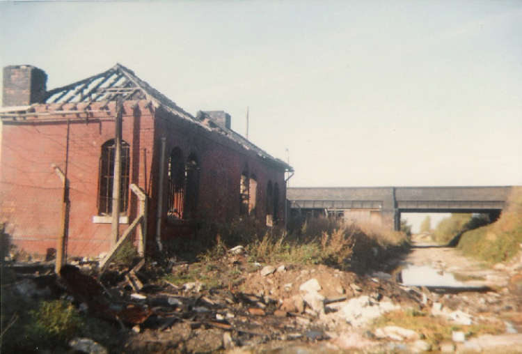
Photo by Paul Wright./ (For further information and pictures on the station click here )
Union Bank Farm Halt.
Along with Ann Street Union Bank Farm Halt was opened on 1st November 1911 by the LNWR to coincide with the introduction of the rail motor service improvements. The area was lightly populated then, as it is still is now and passenger traffic would have been light. The station was also situated quite a distance from the nearest road. It was a basic affair with wooden platforms with no waiting shelter provided. Passengers would have to purchase tickets from the train guard. The station was to close with the rest on 18th June 1951 and being of a wooden construction would have been easily dismantled and no trace of the station would remain.
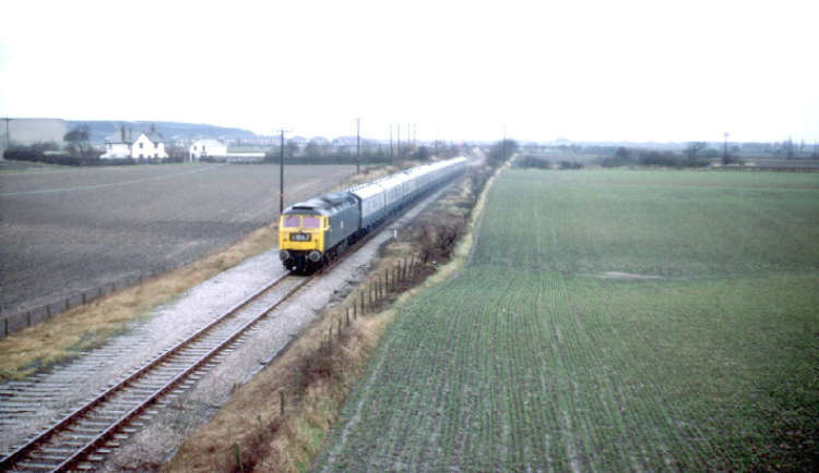
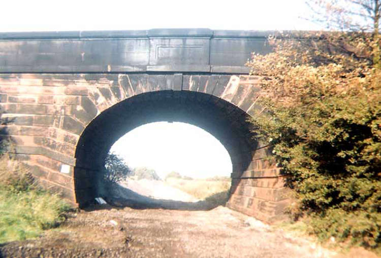
Looking from the site of Union Bank Farm Halt towards the Five Arches Bridge which has recently been cleaned. The trackbed here through to Farnwoth and Bold, in the Widnes direction and Sutton Manor, in the St Helens direction Has now been turned into a footpath and cycle way. 2nd June 2011.
Photo by Paul Wright./ (For further information and pictures on the station click here )
Clock Face.
The station at Clock Face first appeared in the timetable of 1856 and was located in the village bearing its name. The station was a split platform affair with the up platform located to the south of Clock Face Road bridge with the down platform to the north.The station was staffed until 1926 when it was reduced to an unstaffed halt. Closure came with the withdrawl of the passenger service on 18th June 1951 and the station and its platforms were demolished soon afterwards. Part of the base for the down platform waiting shelter was visible until the early 1990’s as was some of the brickwork of the up platform building. This was swept away with the demolition of the road bridge and the subsequent re-alignment of Clock Face Road. The cutting which the station stood in was filled in shortly afterwards and housing development has now totally transformed the area.
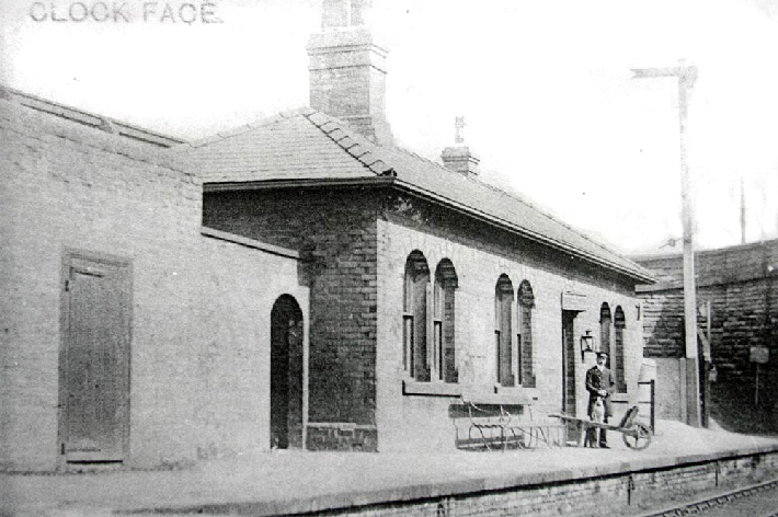
A 1900’s view, Clock Face station up platform complete with staff the now demolished road bridge can be seen in the background.
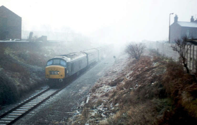
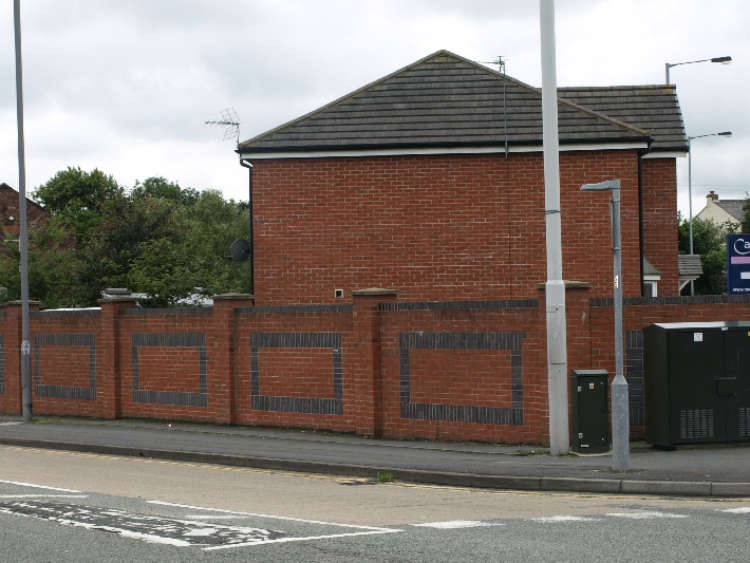
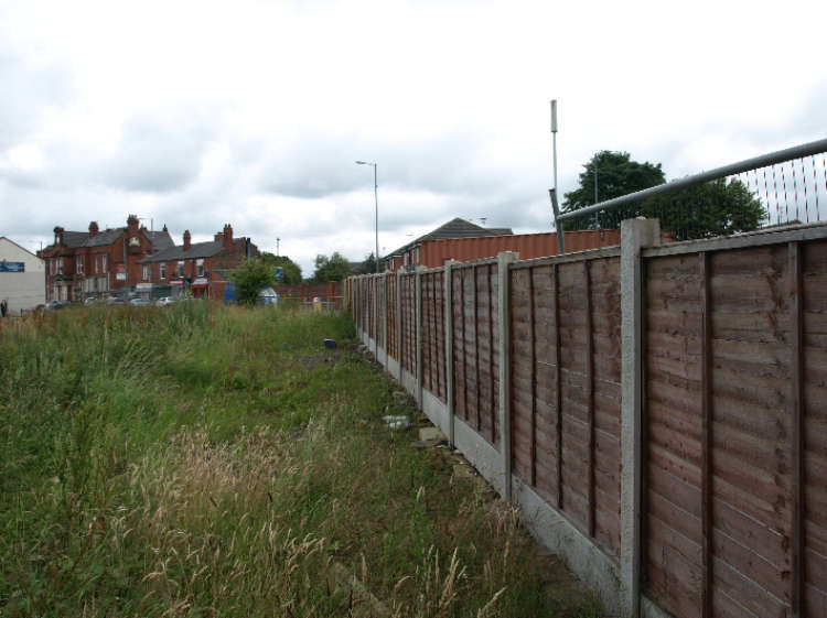
Photo by Terry Callaghan./ (For further information and pictures on the station click here )

Photo by John McCann./ (For further information and pictures on the station click here )
Sutton Oak.
Sutton Oak station first appeared in the timetable of 1852 and was located to the west of Lancotts Lane bridge. the station was not only served by trains running on the SH & RGR but by trains running from St Helens to Warrington via St Helens Junction which were known locally as the Junction Bus. This meant a much more frequent service and the ability to connect with services to travel a greater distance. The station was closed along with the others on 18th June 1951 event though the Junction Bus service was still in operation for many years afterwards. Today nothing remains of the station and the line has been lifted to a point near the ex Sutton Oak shed.
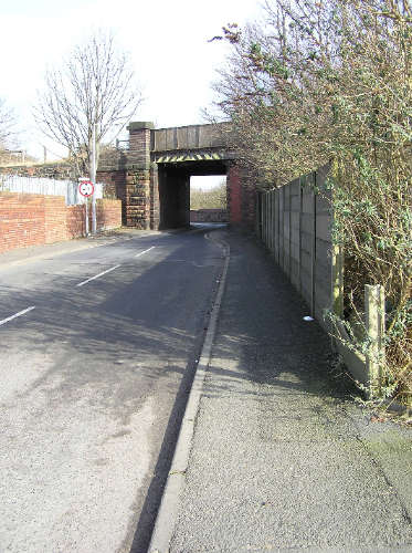
Photo by Terry Callaghan./ (For further information and pictures on the station click here )
Peasley Cross.
Located north of the shed at Sutton Oak Peasley Cross station was first mentioned in the timetable of 1852. The SH & RGR did not provide any intermediate stations along the line upon opening as their focus was the transportation of goods and passengers from the companies two termini. The sttion enjoyed a frequent service and as with Sutton Oak the Junction Bus service called as well as the Ditton Dodger. The station closed on 18th June 1951 and was soon demolished with no trace visible. The track is still insitu and is the last stretch of the original SH & RGR still with track in place. The stretch is now disused with the final Hays Chemicals train running along it on 27th September 2002. There has been talk of re-opening the line through to St Helens Junction but it has got no further than talk.
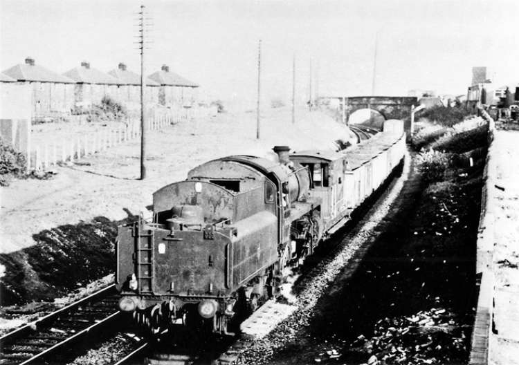
From the David Ingham Collection. / (For further information and pictures on the station click here )
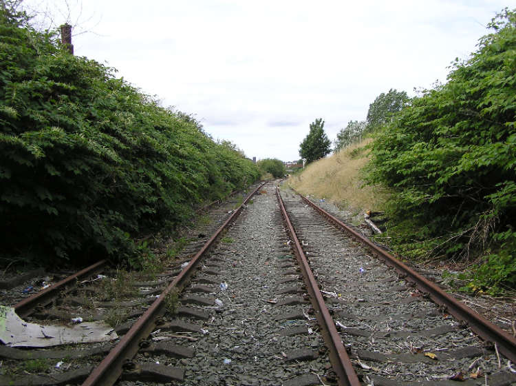
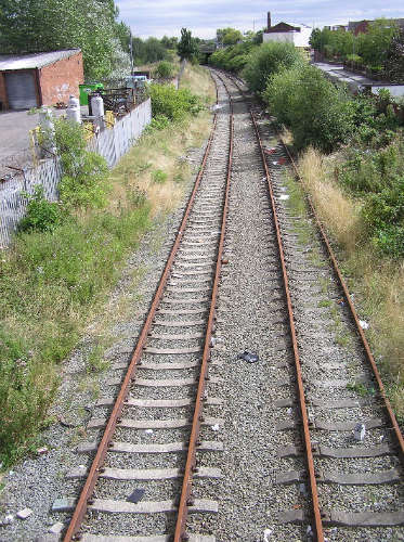
Photo by Terry Callaghan./ (For further information and pictures on the station click here )
St Helens Central.
There have been 4 station sites on this line in St Helens. The first opened along with the line in September 1833 and was situated along the Ravenhead branch to the west of Ravenhead Junction. This station was quite remote from the town centre and within 16 years proved to be inadequate. The station closed on 18th December 1849 and the second site opened the following day on 19th December 1849. This station was located outside the Raven Inn public house and the Quaker Meeting House. This site also proved to be inadequate for the companies expanding operations and a decision was made to build a new station near Shaw Street when the new branch to Rainford was built. The second site closed to passengers on 1st February 1858 and to goods by 1871. The third site opened to passengers on 1st February 1858 but was short lived closing on 17th July 1871. This was to allow the building by the LNWR of the present station which partially occupied the site of the former. The station was named Central and then changed its name to Shaw Street in 1949 reverting to Central on 3rd May 1987.
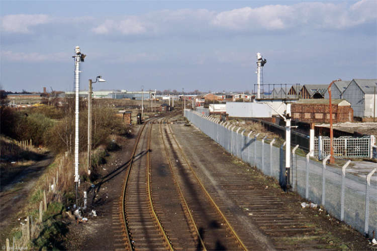
Photo by David Ingham. (To view more of David’s excellent and extensive Flickr photostream click here )
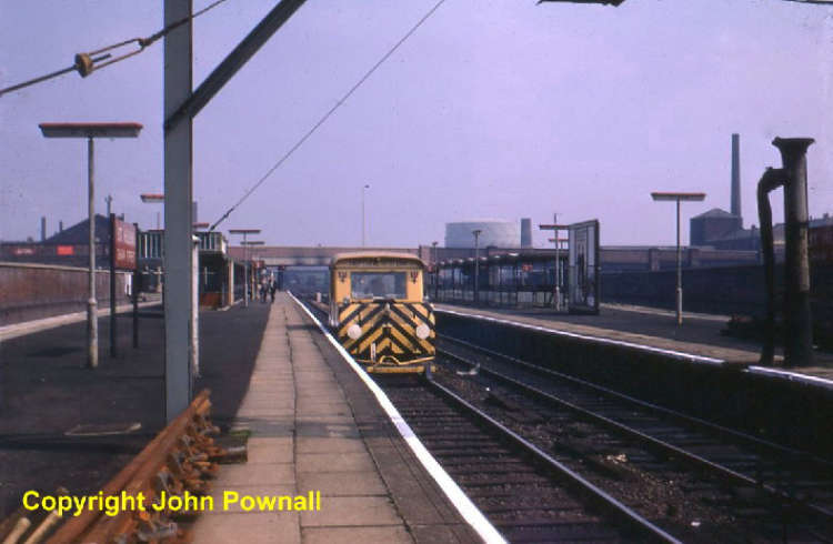
Photo by John Pownall. / (To view more of John’s interesting and varied Flickr photostream click here )
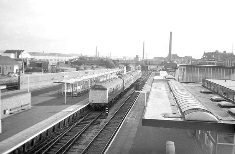
Photo by J M Tolson. Reproduced with kind permission from the Sankey Canal Restoration Society. / (For further information and pictures on the station click here )
